Field survey
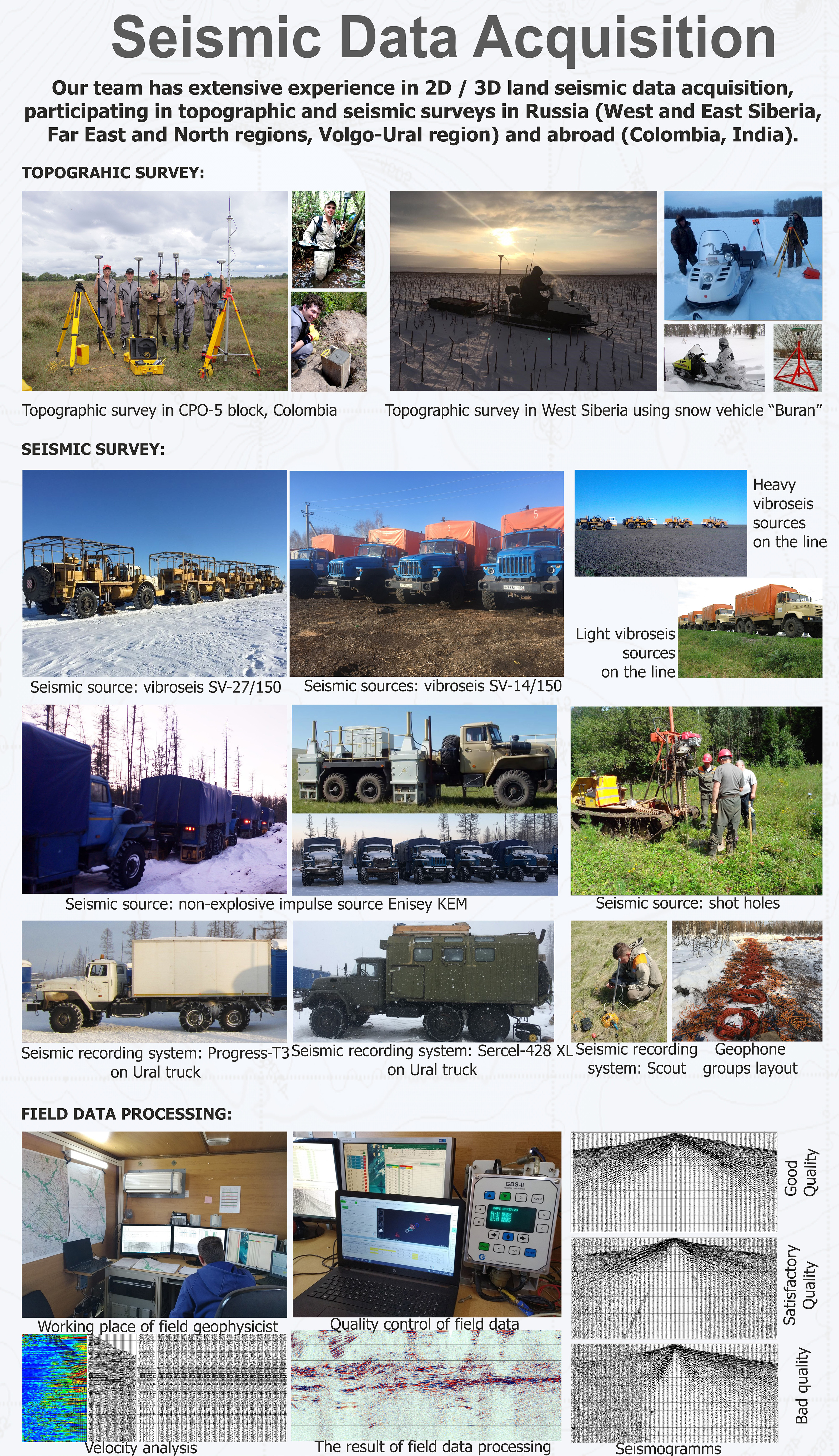
As part of the project, a topographic survey was carried out over an area of 4.3 hectares using EFT M4 GNSS geodetic equipment. A site plan was also prepared in QGIS to support the preparation of a forest declaration and the placement of recreational forest infrastructure facilities.
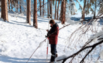
High-density 3D CDP seismic surveys were carried out at the Sardarpur site (India) with a recording interval of 0.5 ms, using the Wireless Seismic RT2 cable-free system. Borehole explosive sources were used for wave generation, with drilling performed manually. Topographic positioning was conducted in RTK mode using Spectra geodetic equipment.