Cartographic Support
The cartographic support for our projects covers a wide range of cartographic, geoinformation, and web-mapping tasks. At the core of our work is the creation of a unified geoinformation environment that enables comprehensive field and office-based geological and geophysical studies, utilizing various data sources - from electronic maps and spreadsheets to freely available spatial data of general geographic and geological-geophysical nature.
Design, Compilation, and Layout of Thematic Maps
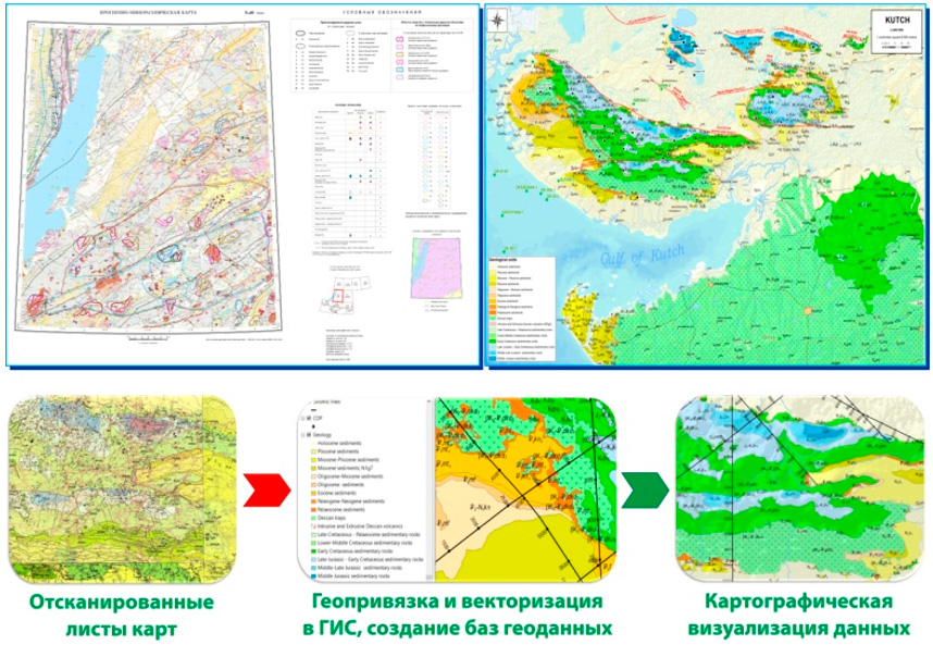
Map preparation for geological reports is performed in GIS environments, with graphic editors used only at the final stage. This approach enables efficient data updates and production of high-quality cartographic products, including graphical annexes to geological reports and other thematic maps.
Development and Updating of Digital Terrain Models for Oil and Gas Fields
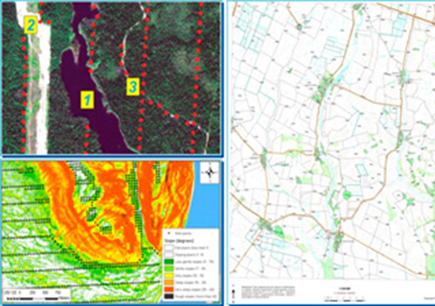
The use of modern Earth remote sensing data and aerial survey materials, combined with open topographic information, enables rapid development/updating of a digital terrain model (DTM) for your field/licensed area.
Thematic Interpretation of Remote Sensing Data for the Oil and Gas Industry
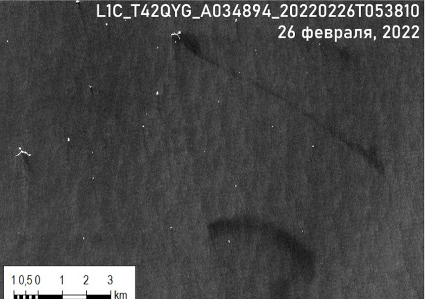
Here is a precise, professional translation of your text while maintaining all technical and geographical specifics: Remote Sensing Data in Geological Exploration Remote sensing (RS) data represents an effective method for acquiring information to refine understanding of the Earth's surface geological structure. Multispectral, hyperspectral, and radar imagery are utilized for: Lineament analysis Evaluation of hydrocarbon potential in World Ocean waters Environmental monitoring in oil production areas We possess demonstrated experience in addressing these challenges across: ✓ The Russian Federation territory ✓ Indian Ocean waters ✓ Other global regions
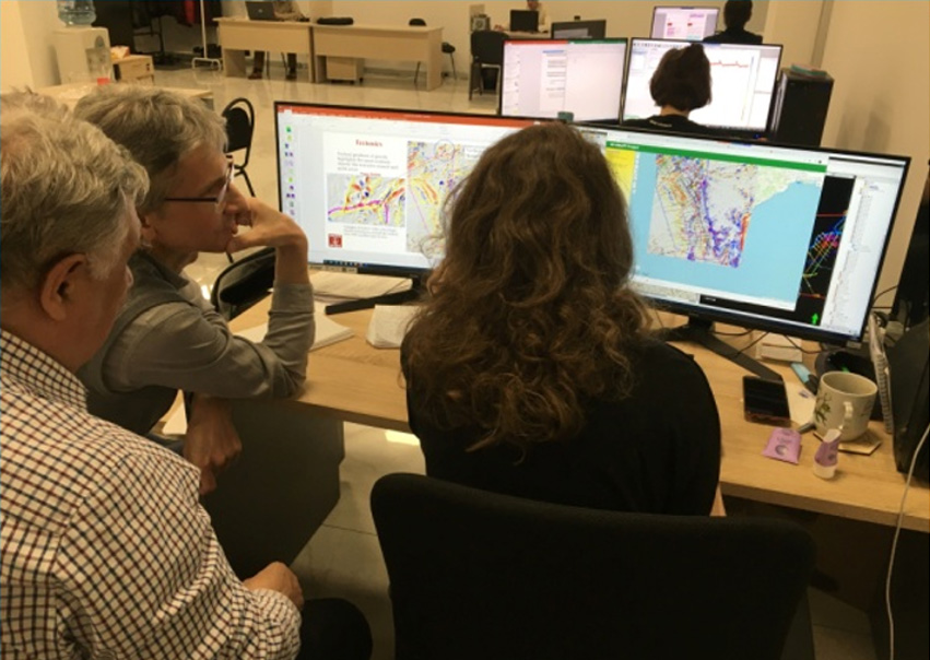
Development of Cartographic Web Services for Field Operations

We possess unique expertise in developing cartographic portals based on web-GIS technology of any complexity, including automated systems for cartographic monitoring and analytics of field geophysical teams’ operations. Data collection and visualization of topographic-geodetic, geophysical, and other field activities occur in real-time via an interactive web service. The result: web services are used by field teams as a daily reporting tool for fieldwork progress, enabling timely detection of schedule deviations and prompt decision-making to address them.
Development of Cartographic Web Services for Office-Based Processing
The use of web services to create a unified geoinformation environment for office-based studies facilitates quick data access through a standard web browser in both desktop and mobile modes, regardless of age or GIS skills. Thanks to web services, we enhance the efficiency of specialist collaboration when solving geological tasks at regional exploration and prospecting-evaluation stages of geological exploration.
Development of cartographic web services for the archive of geological-geophysical survey data of the territory conducted by the industry organization
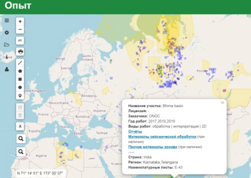
In developing survey data web services, we apply a systematic approach to processing spatial data from the organization's completed projects, modern UX/UI design principles for graphical user interfaces, and open-source software. This combination allows us to achieve the core functionality of specialized visualization software for survey data archives, ensure web service interface flexibility, and develop custom tools (plugins) to adapt the web service to the organization's specific needs.
The creation of spatial databases, GIS projects, and cartographic web services for accessing and analyzing all information is made possible through the application of advanced technologies, including the following development technology stack:


