2022, 2023. INDIA. APPROVAL AND SUBMISSION OF INDIAN PROJECTS TO DGH (Directorate General of Hydrocarbons of India)
- Processing & Interpretation of 2D Broadband marine seismic data of Andaman Deep Offshore (22 554.6 LKM);
- Hiring of services for carrying out Western India Volcanic Margin Petrtoleum Prospectivity study.
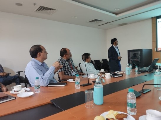

2023 INDIA. Cameral work. The Andaman Islands project
During the work on the project for the geological interpretation of all vintage G&G data, as well as newly acquired broadband 2D high-resolution seismic data related to the Andaman and Nicobar Islands zones in order to study HC prospectivity in poorly studied areas of work, the following tasks were solved:
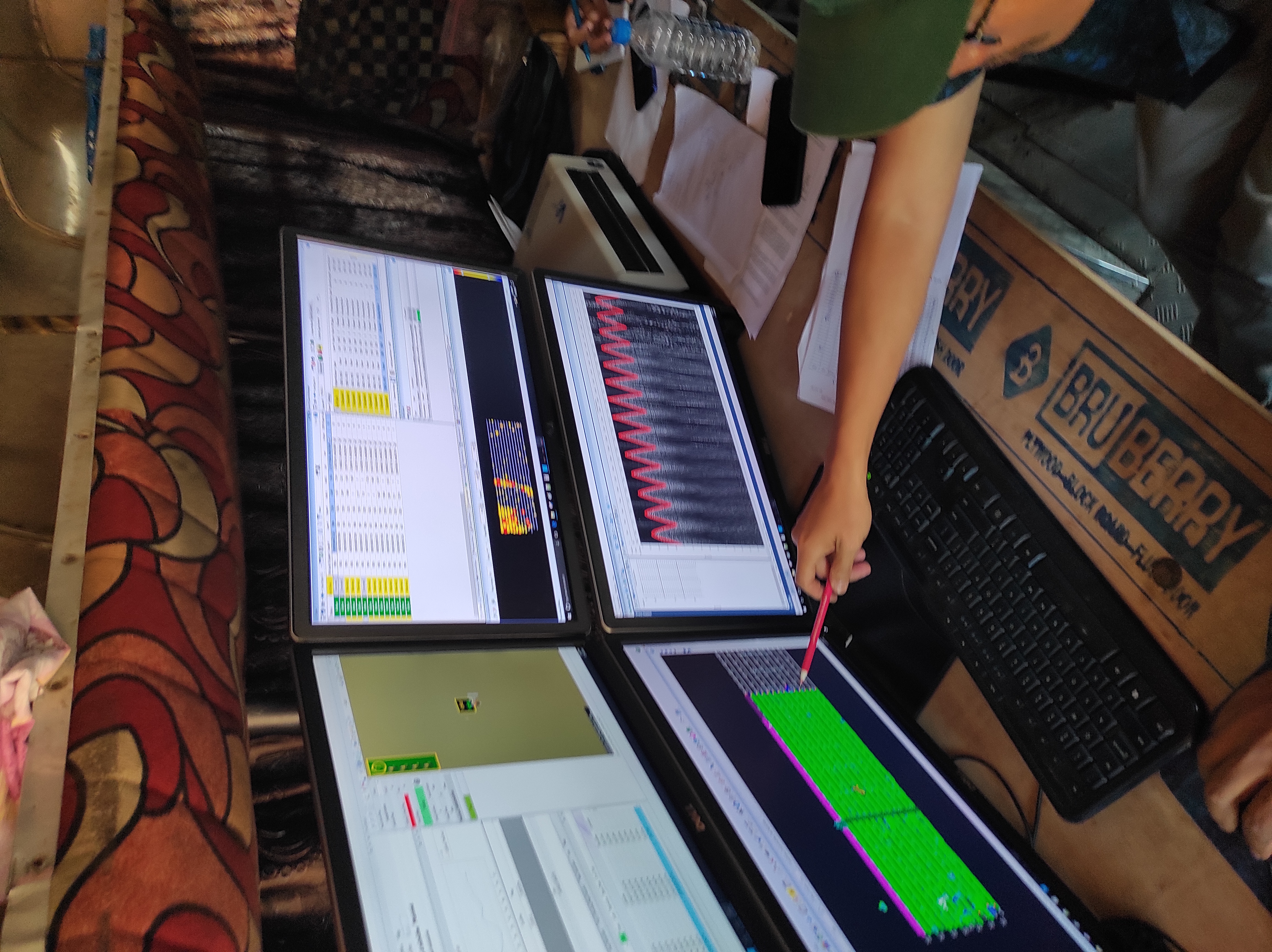
- processing of newly acquired 2D seismic data;
- interpretation of newly acquired 2D seismic data,
vintage 2D and 3D data;
- depth-density modeling based on integration of gravity &
magnetic data along with seismic data;
- analysis of Earth remote sensing data;
- identification of HC prospects along with an assessment
of geological risks and ranking of HC prospects in terms of the discovery of HC deposits;
- recommendations for further geological exploration were given including: 3D seismic, gravity & magnetic survey, as well as geochemical, and also drilling of a parametric well.
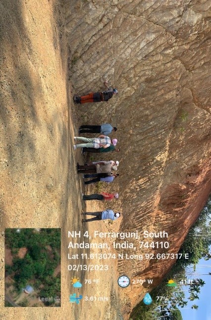
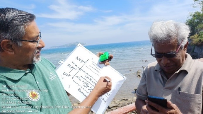
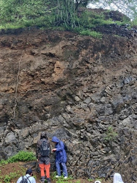
During the implementation of the project, in February 2023, a field geological excursion was conducted within the study area (Andaman Islands) in order to study surface geological outcrops and take samples of rocks: oil source, reservoirs and seals.
As a result of this excursion, it was noted that the study area has all the signs of a classical oil system, so the discovered Oligocene flysch deposits with organic remains of Eocene age can play the role of the reservoirs, and shales and heteroliths of the Andaman flysch – lithological screens.
Our specialists along with the Client`s representatives during the field excursion Andaman Islands.


2022 INDIA. 3D seismic data acquisition
Providing of high-density 3D seismic data acquisition in India at the Sardarpur block with a discretization of 0.5 ms.
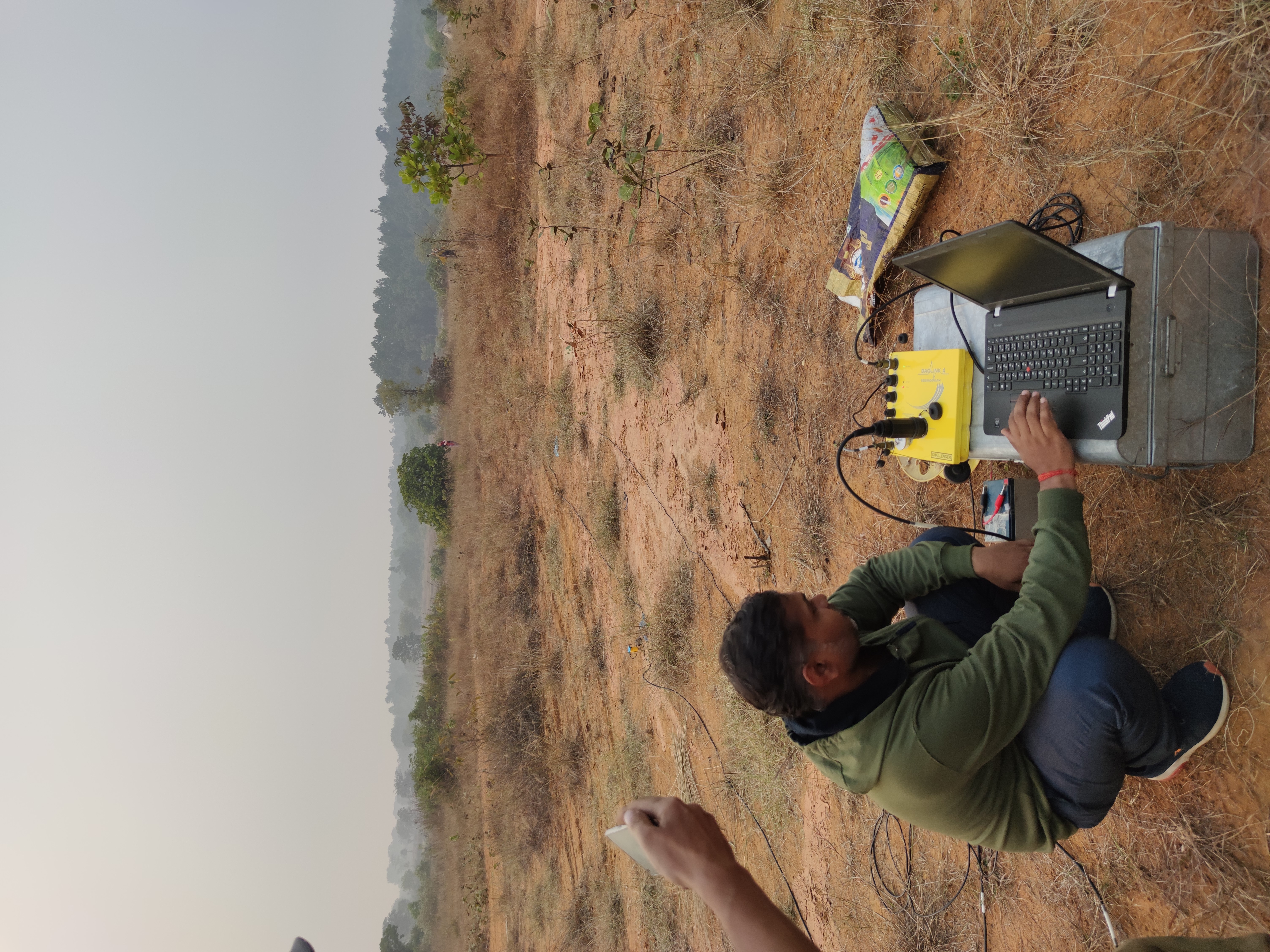
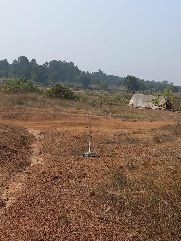


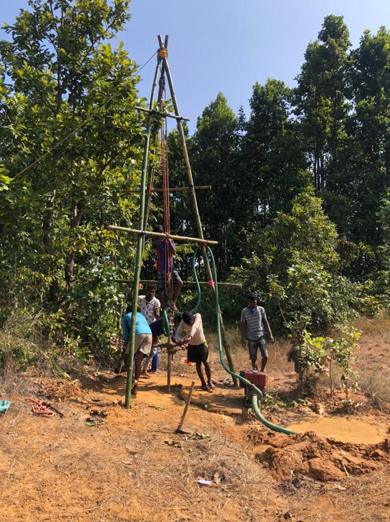
 The source of waves was an explosion in wells. Wells were drilled manually to a depth of 15 meters.
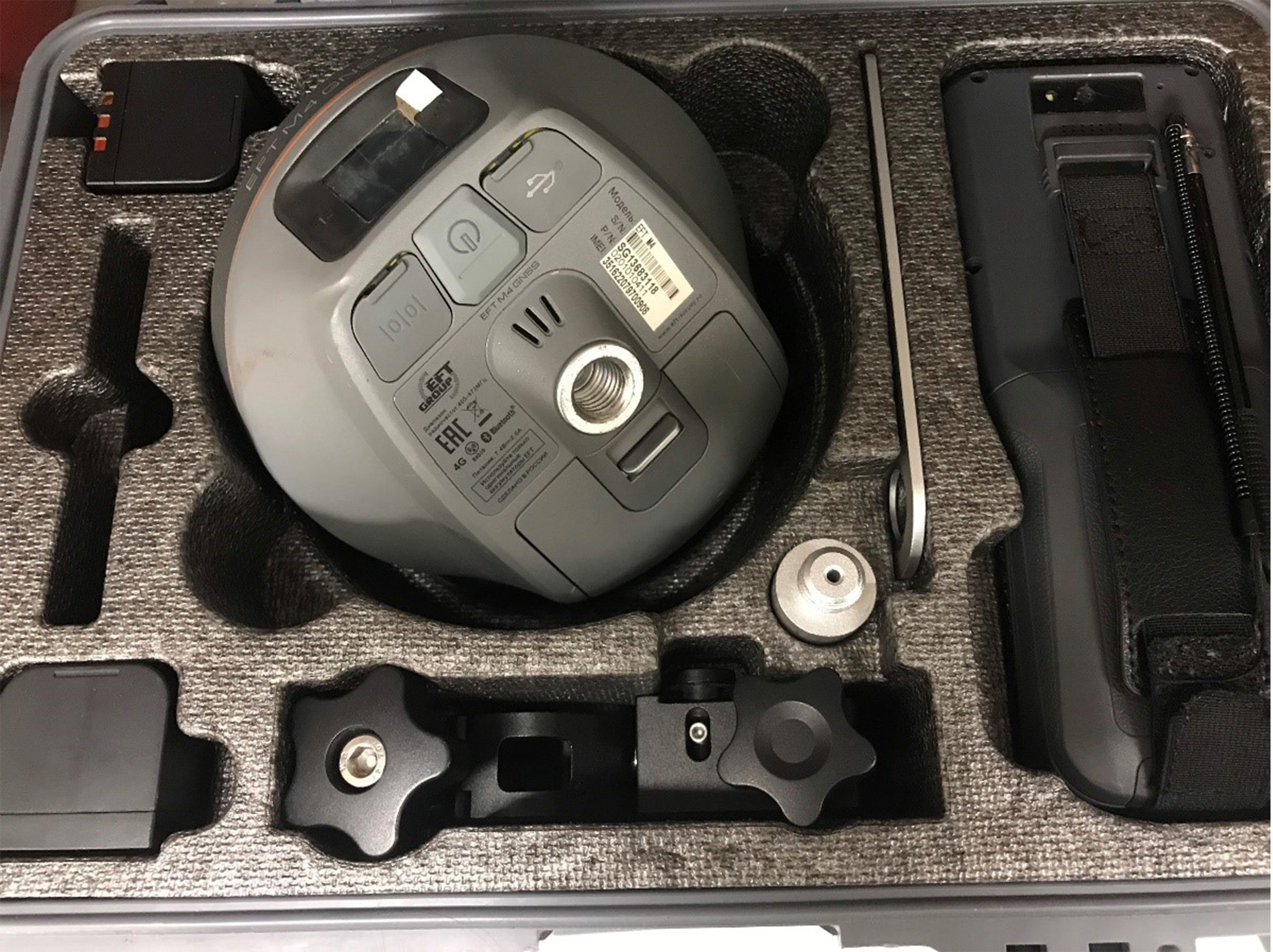
Topographic survey was performed in RTK mode using Spectra GNSS.
The source of waves was an explosion in wells. Wells were drilled manually to a depth of 15 meters.
Topographic survey was performed in RTK mode using Spectra GNSS.

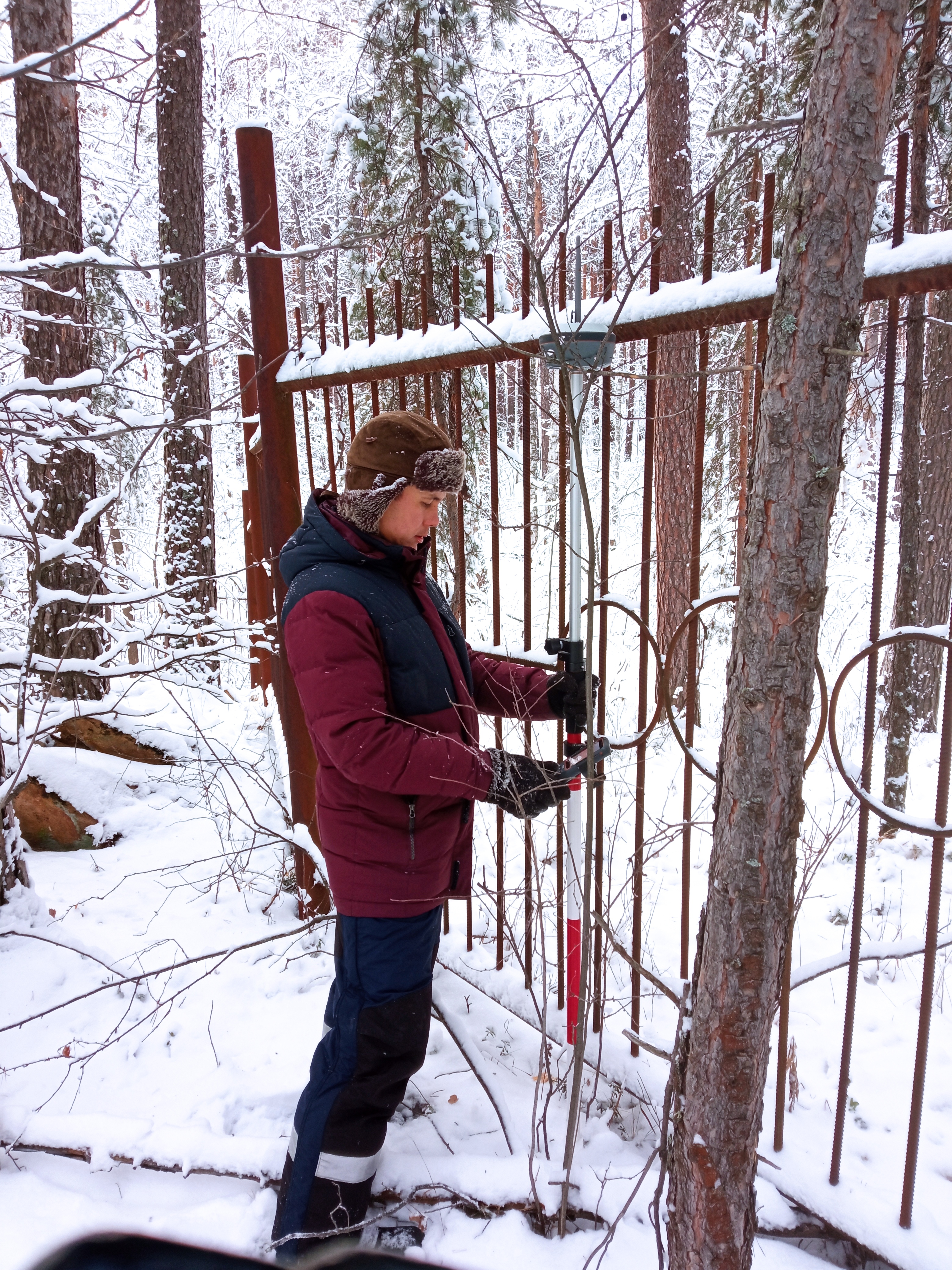
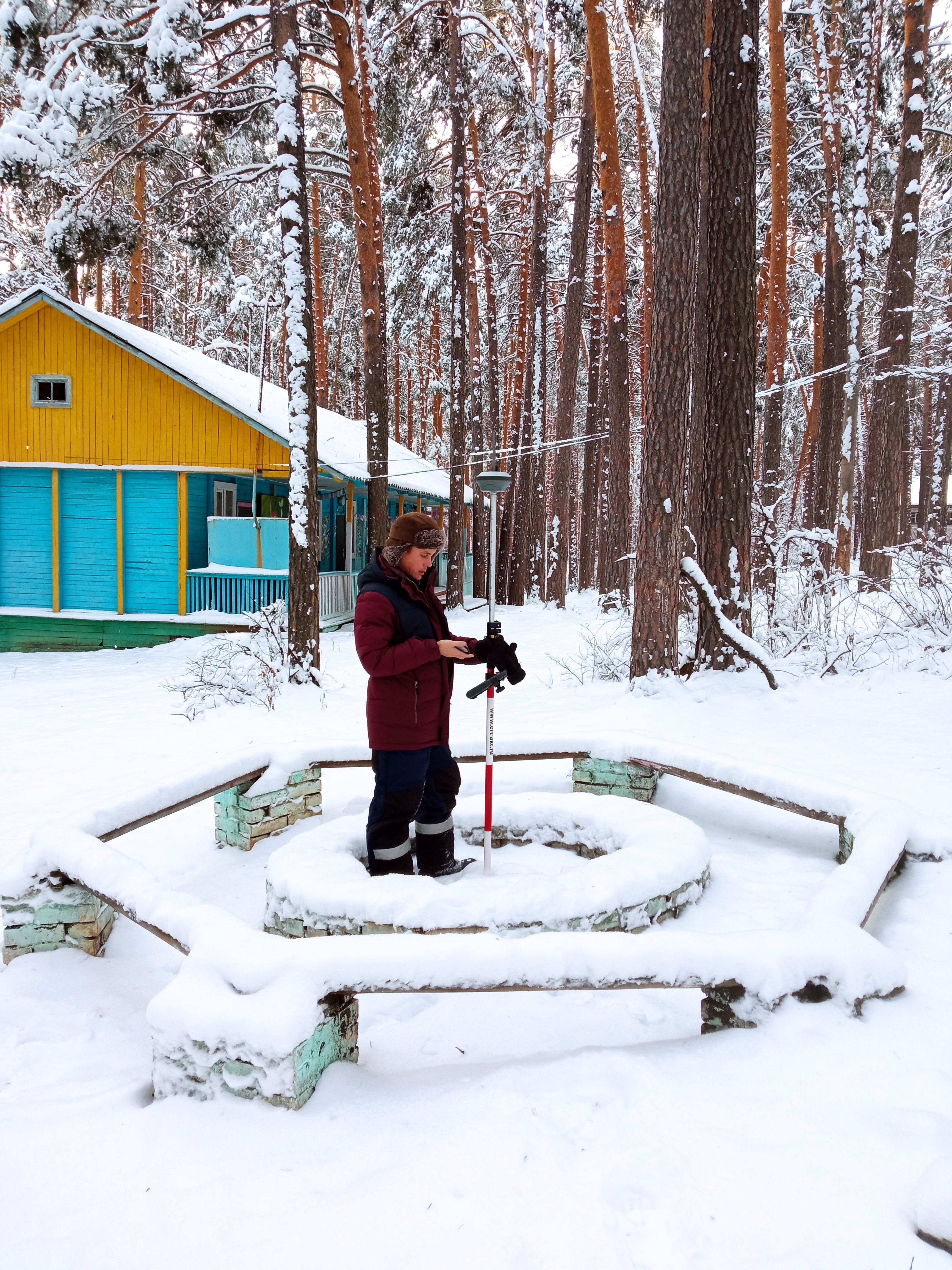
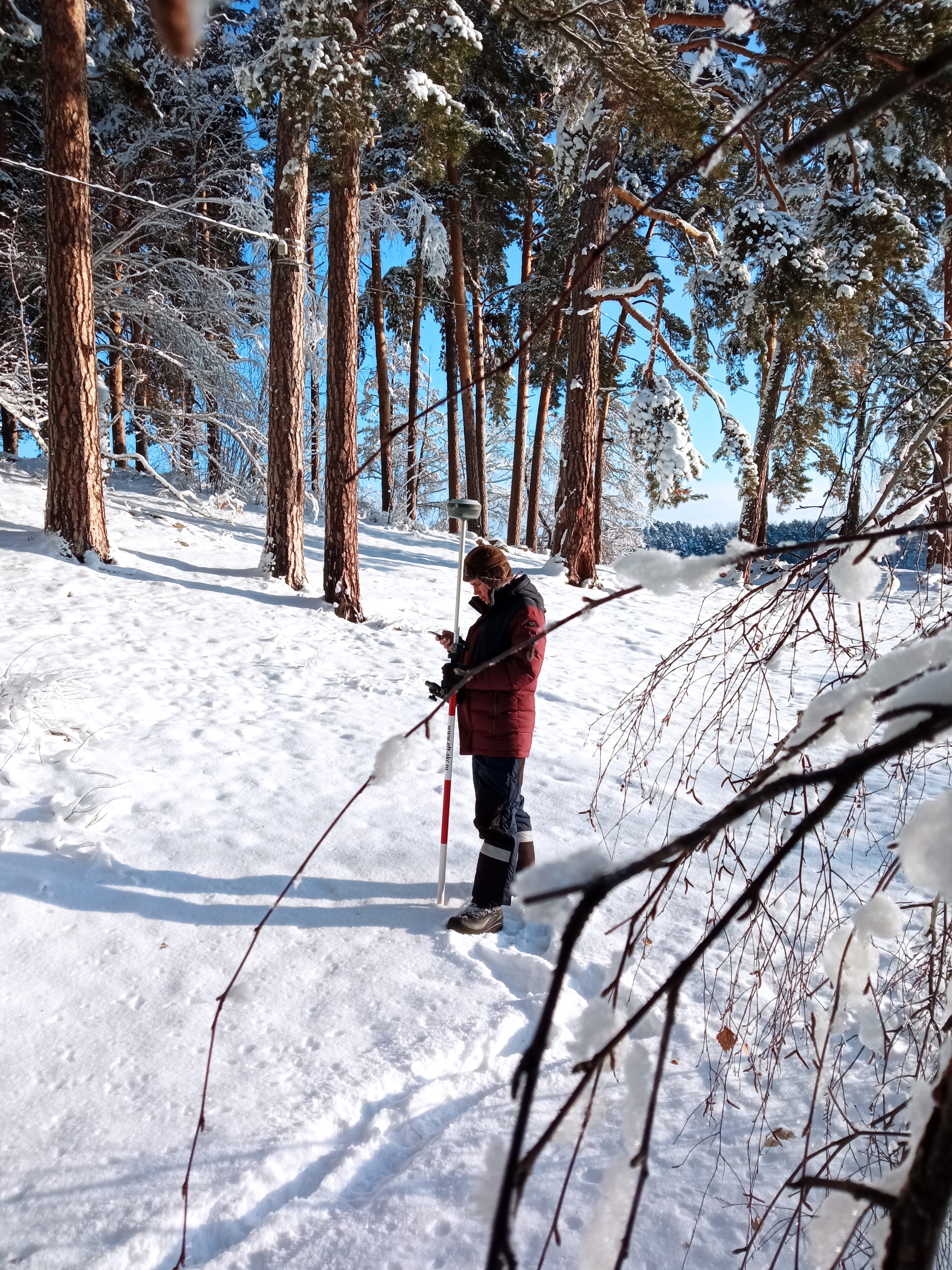
2022 RUSSIA. Topographic survey
During the project implementation the following works were done:
-topographic survey with the use of satellite geodetic equipment.
-carrying out of the work for preparation of the location scheme of forest infrastructure of the recreation facilities, including topographic survey within the area of 4.3 Ha
- field topographic survey using satellite
geodetic equipment.
- preparation of plan of the study area in
QGIS software in order to obtain forest declaration.
2022 India. Cameral work. Volcanic project
• The region of work was divided into megablocks with an independent geological history;
• Based on the obtained seismic-geological model, 3 main geological blocks were identified, they were proposed for further studying of this region;
• Recommendations on possible parametric drilling were prepared to clarify / confirm the proposed seismic-geological model and 5 zones were identified for the possible location of wells;
• The assessment of geological risks and technological possibilities of drilling were given;
• A specific program was proposed for further exploration.


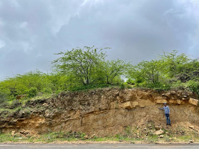
 During the implementation of the project, in July 2022, a field geological excursion was conducted directly to one of the study areas (the Kutch basin) in order to study surface geological conditions and take samples of rocks.
As a result of these fieldwork, the outcrops of Cenozoic and Mesozoic rocks were studied i.e.: Eocene and Jurassic sedimentary rocks, as well as Deccan traps. Fossils and paleo lagoons were studied, evidence of fluvial processes, transgression and regression were found, the sequence of sedimentation was described, clinoforms and intrusions were studied, and appropriate rock samples were selected.
Due to the fact that the rocks coming to the surface have their continuation at depth in areas insufficiently studied by drilling, the seismic, geological and well log data were implemented into a single geological model.
During the implementation of the project, in July 2022, a field geological excursion was conducted directly to one of the study areas (the Kutch basin) in order to study surface geological conditions and take samples of rocks.
As a result of these fieldwork, the outcrops of Cenozoic and Mesozoic rocks were studied i.e.: Eocene and Jurassic sedimentary rocks, as well as Deccan traps. Fossils and paleo lagoons were studied, evidence of fluvial processes, transgression and regression were found, the sequence of sedimentation was described, clinoforms and intrusions were studied, and appropriate rock samples were selected.
Due to the fact that the rocks coming to the surface have their continuation at depth in areas insufficiently studied by drilling, the seismic, geological and well log data were implemented into a single geological model.

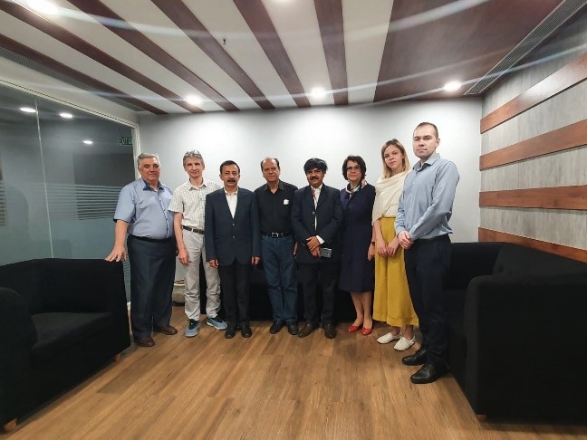
 Our specialists worked in close cooperation with the Client`s representative during the project implementation.