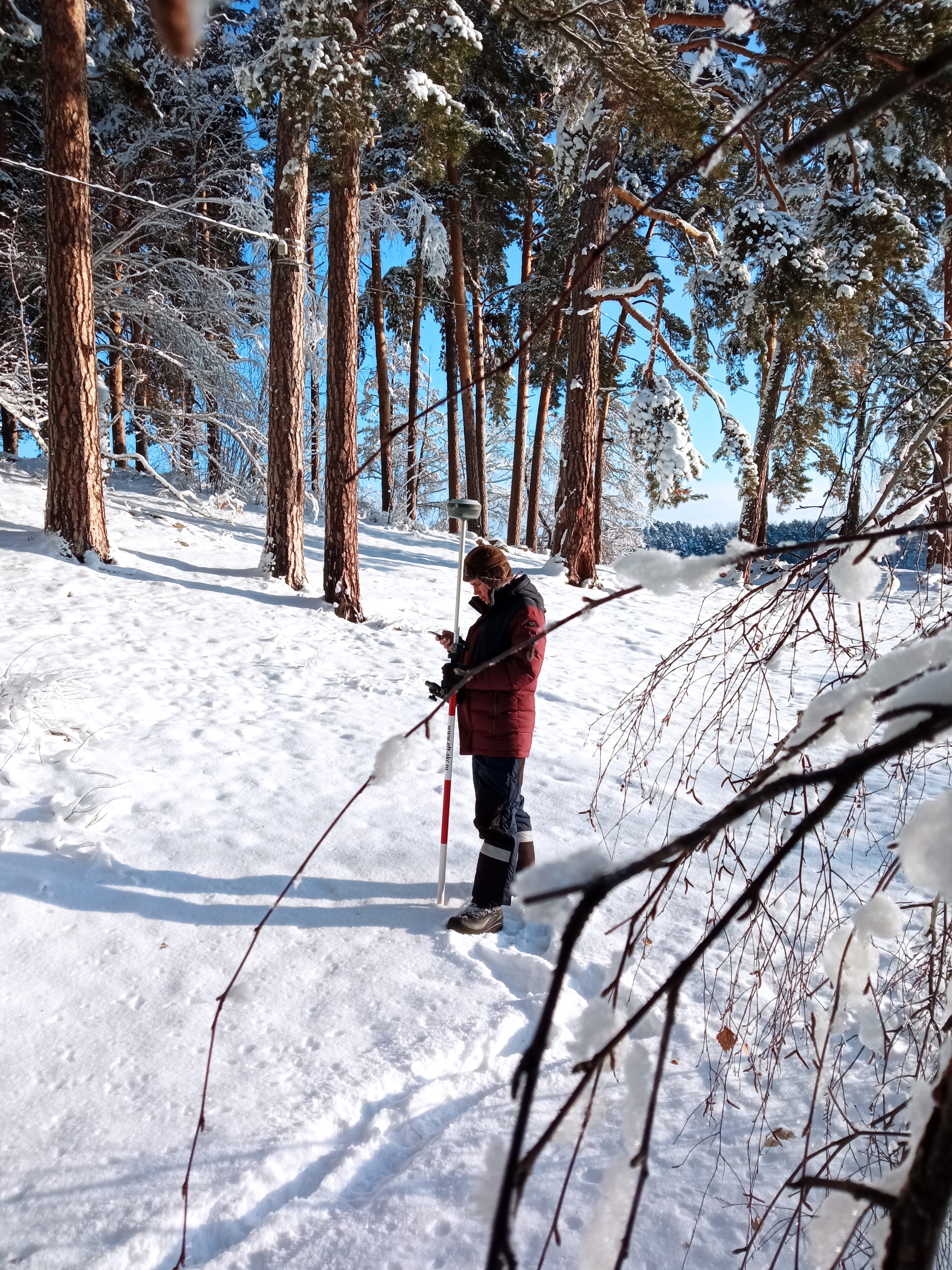
During the project implementation the following works were done:
-topographic survey with the use of satellite geodetic equipment.
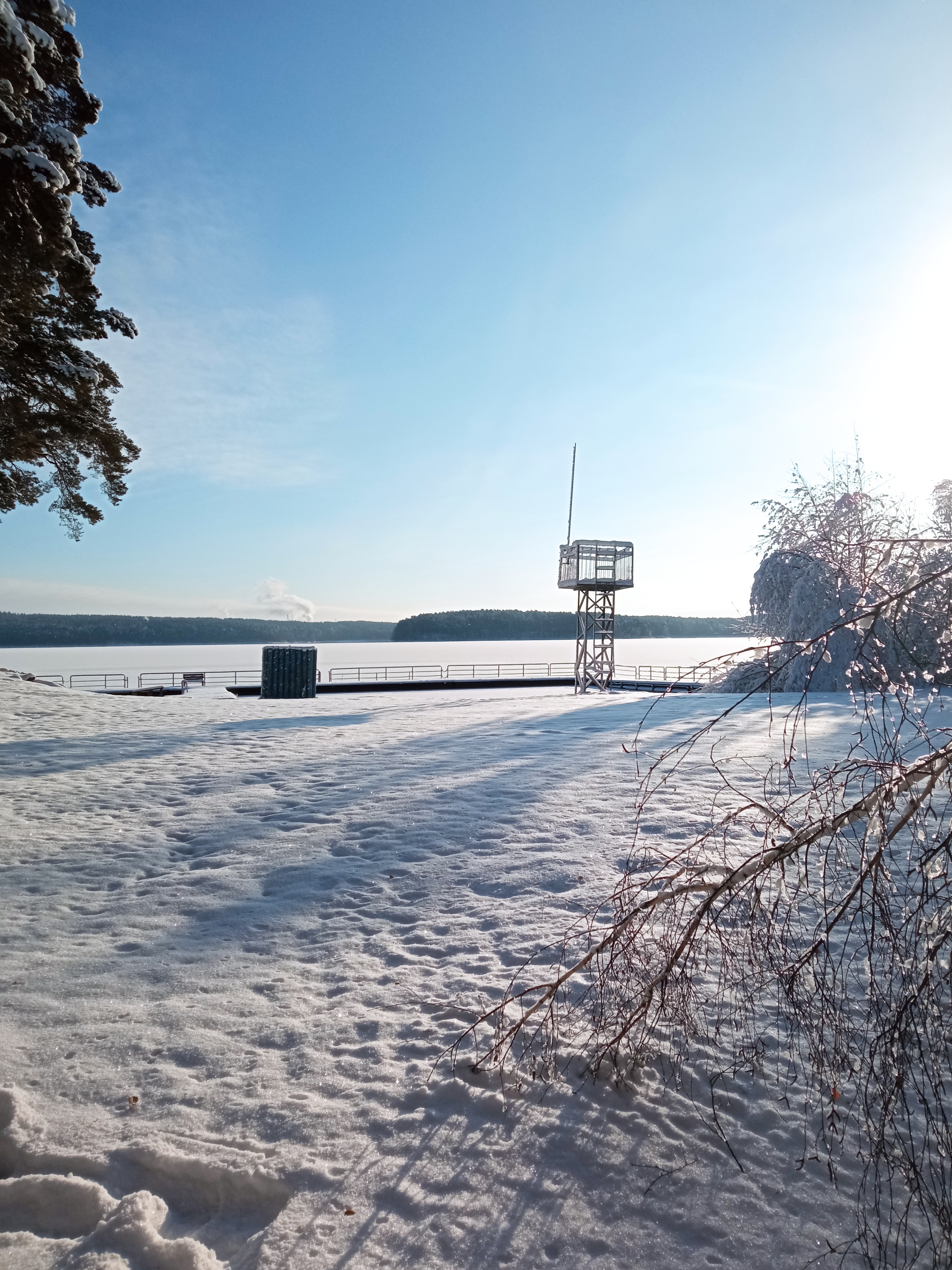
-carrying out of the work for preparation of the location scheme of forest infrastructure of the recreation facilities, including topographic survey within the area of 4.3 Ha
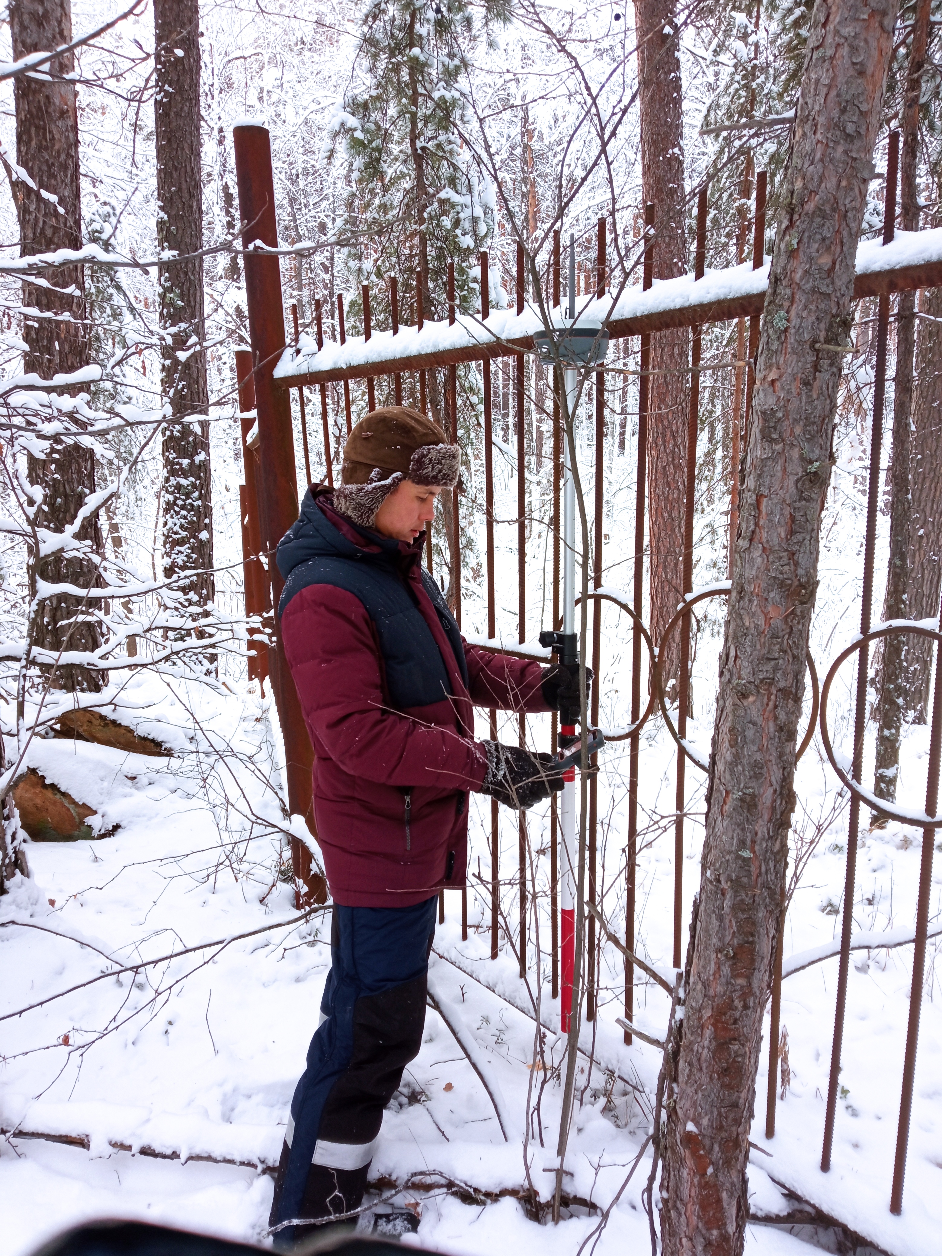
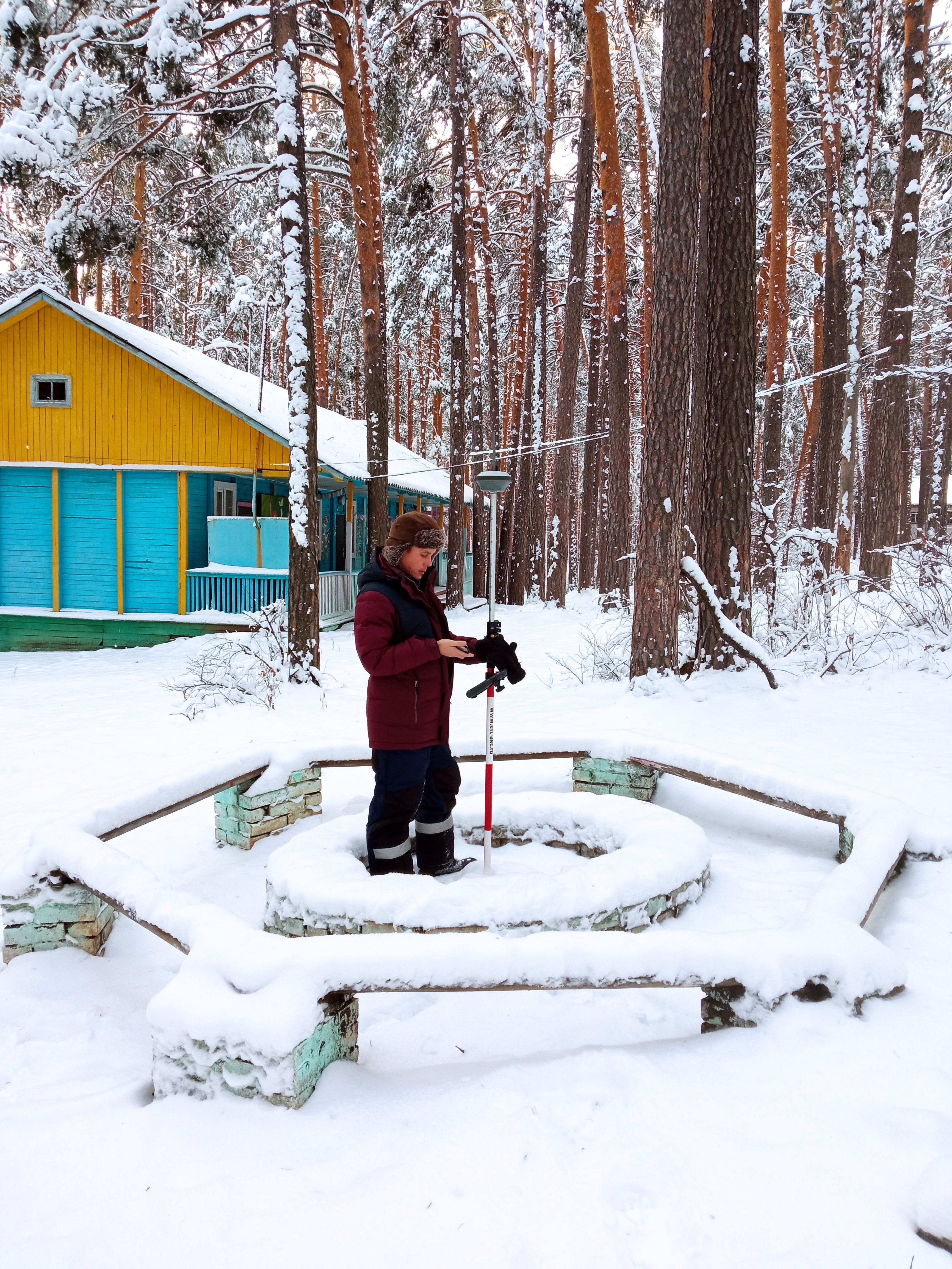
- field topographic survey using satellite
geodetic equipment.
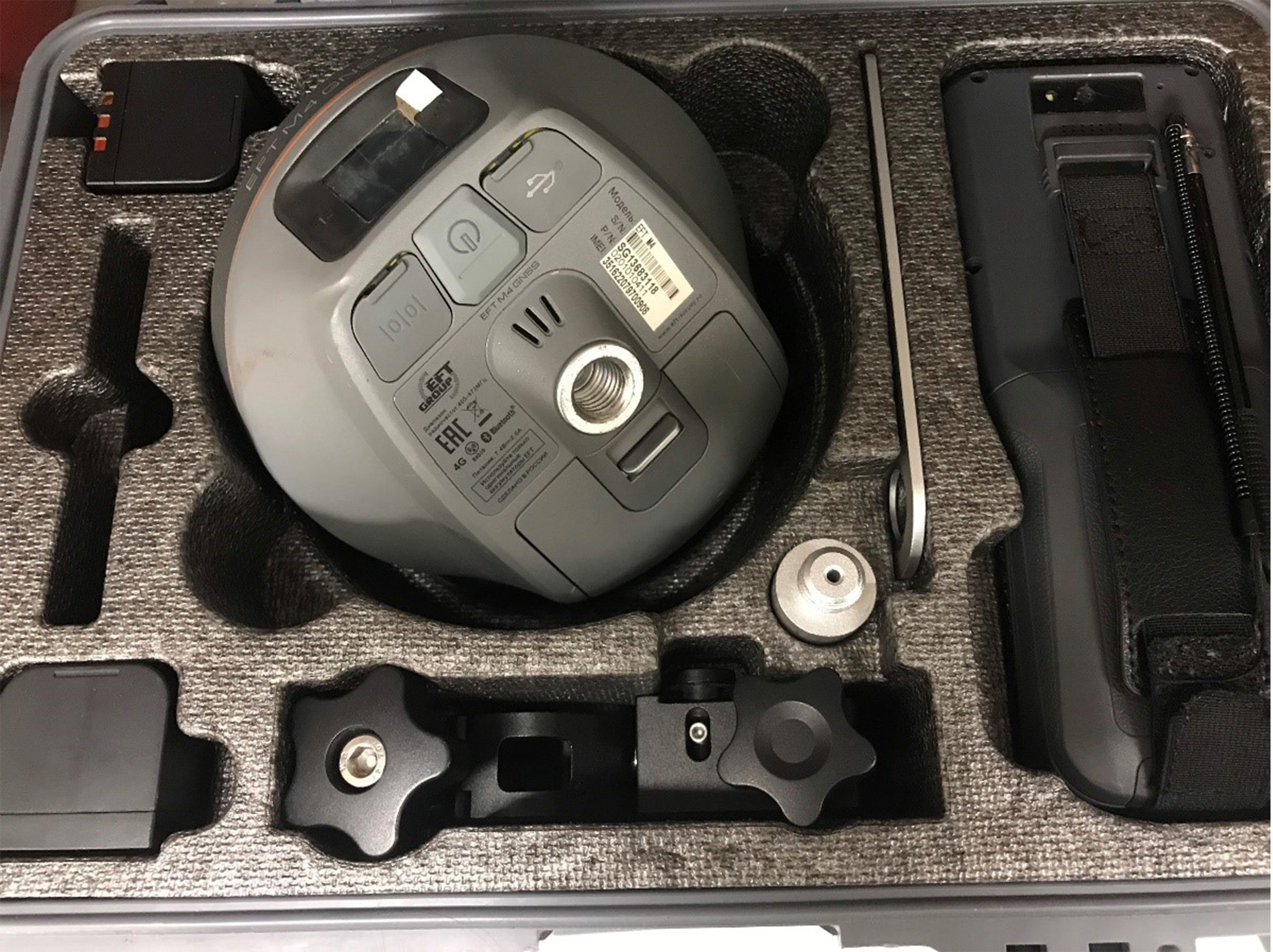
-topographic survey with the use of satellite geodetic equipment.
-carrying out of the work for preparation of the location scheme of forest infrastructure of the recreation facilities, including topographic survey within the area of 4.3 Ha
- field topographic survey using satellite
geodetic equipment.
- preparation of plan of the study area in
QGIS software in order to obtain forest declaration.